

%20--%3e%3cdefs%3e%3cstyle%3e%20.st0%20{%20fill:%20%23e73331;%20}%20.st1%20{%20fill:%20%23252f40;%20}%20%3c/style%3e%3c/defs%3e%3cg%3e%3cpath%20class='st0'%20d='M15.2,14.4s13-.7,13,16.2v33.6s-13,.3-13-14.5V14.4Z'/%3e%3cpolygon%20class='st0'%20points='49.7%2064.2%2031.2%2064.1%2040.1%2048.2%2049.7%2064.2'/%3e%3c/g%3e%3cpath%20class='st1'%20d='M36.4,19.4l1.6-1.9-1-2.3,2.3.9,1.9-1.6-.2,2.5,2.1,1.3-2.4.6-.6,2.4-1.3-2.1-2.5.2Z'/%3e%3cpath%20class='st1'%20d='M45.4,23.7l2-1.6-.5-2.5,2.1,1.4,2.2-1.2-.7,2.4,1.8,1.7h-2.5c0,.1-1.1,2.4-1.1,2.4l-.9-2.3-2.5-.3Z'/%3e%3cpath%20class='st1'%20d='M52.3,31.4l2.3-1.1v-2.5c.1,0,1.8,1.8,1.8,1.8l2.4-.6-1.2,2.2,1.4,2.1-2.5-.5-1.6,1.9-.3-2.5-2.3-.9Z'/%3e%3cpath%20class='st1'%20d='M55.6,40.8l2.4-.6.7-2.4,1.3,2.2h2.5c0-.1-1.6,1.7-1.6,1.7l.9,2.3-2.3-1-1.9,1.6.2-2.5-2.1-1.4Z'/%3e%3c/svg%3e)

All roads lead to us
Your journey to the Hotel Lasalt in Ischgl
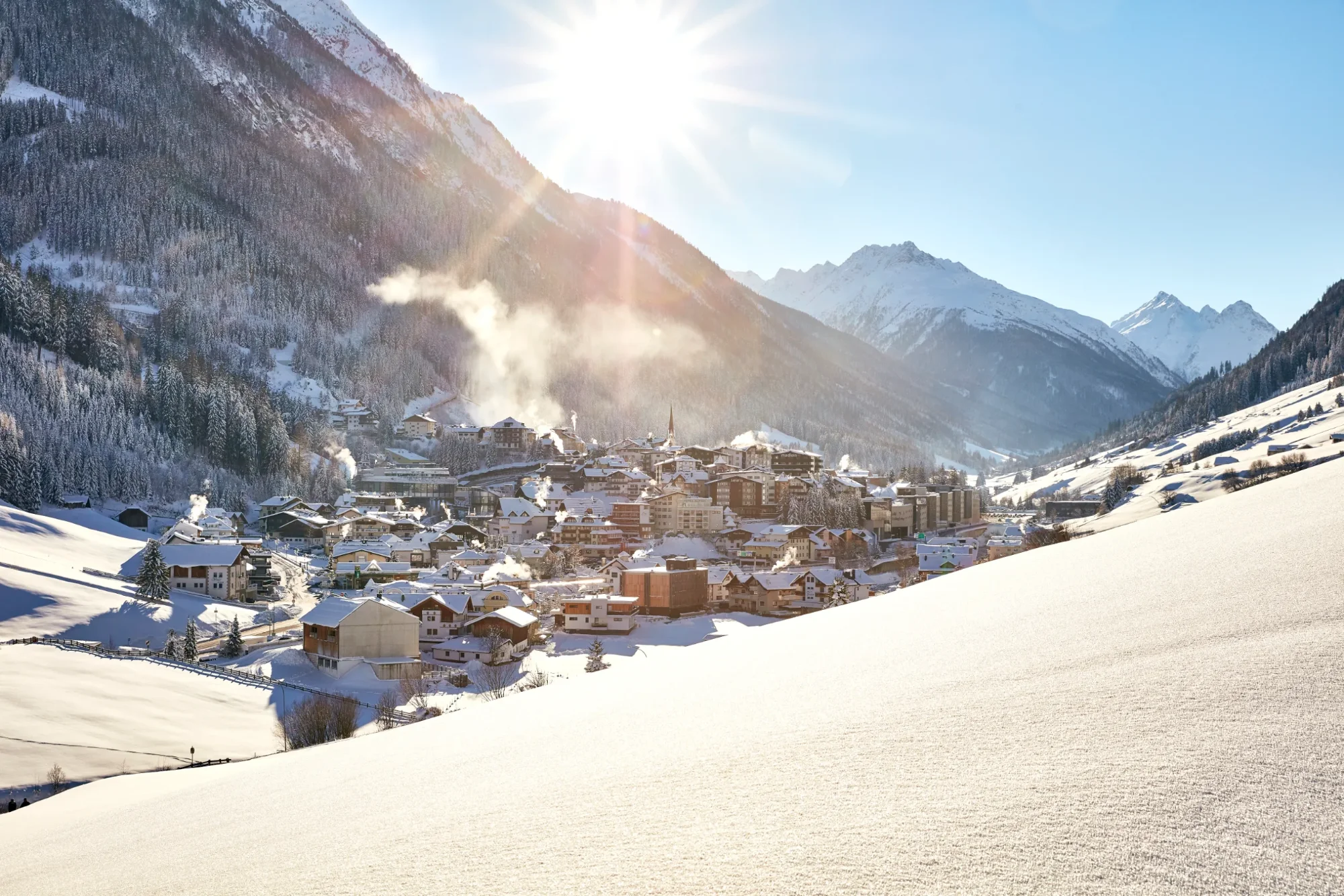
All roads lead to us – right into the heart of Ischgl, where the action is. Whether by car or on public transport: here’s your roadmap to the best venue in the Alps.
Road trip to the Paznaun valley
Travelling to Ischgl by car
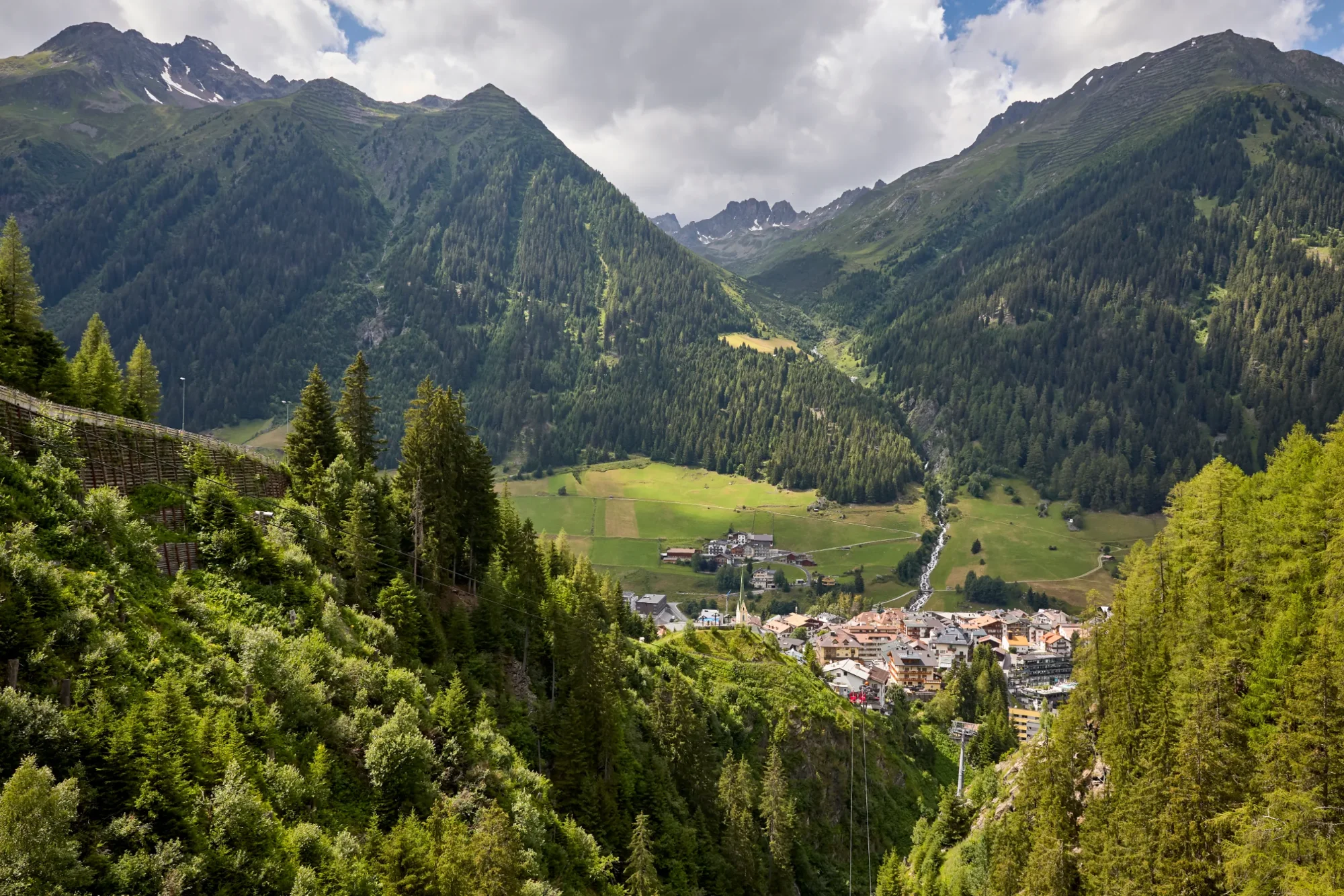
No matter which direction you set off from – the final 20 kilometres along the Silvretta Road (B 188) are the most beautiful part of the journey. Choose your route:
über Kufstein: Inntalautobahn A 12 bis Landeck, dann Arlbergschnellstraße S 16 bis Ausfahrt Pians. Ab hier ins Paznaun abbiegen und der Silvretta-Straße B 188 rund 20 km bis Ischgl folgen.
über den Fernpass: B 179 über den Fernpass nach Imst, weiter auf der A 12 bis Landeck. Dann Arlbergschnellstraße S 16 bis Ausfahrt Pians, ins Paznaun abbiegen und der B 188 rund 20 km bis Ischgl folgen.
Brennerautobahn bis Innsbruck, A 12 bis Landeck. Arlbergschnellstraße S 16 bis Ausfahrt Pians, dann ins Paznaun und B 188 bis Ischgl (ca. 20 km).
A 14 Richtung Feldkirch, durch den Arlbergtunnel / über den Arlberg auf die S 16 bis Ausfahrt Pians. Ins Paznaun abbiegen und der B 188 etwa 20 km bis Ischgl folgen.
Good to know
PLEASE NOTE: The Silvretta Hochalpenstrasse high alpine road is expected to remain closed until 2030!
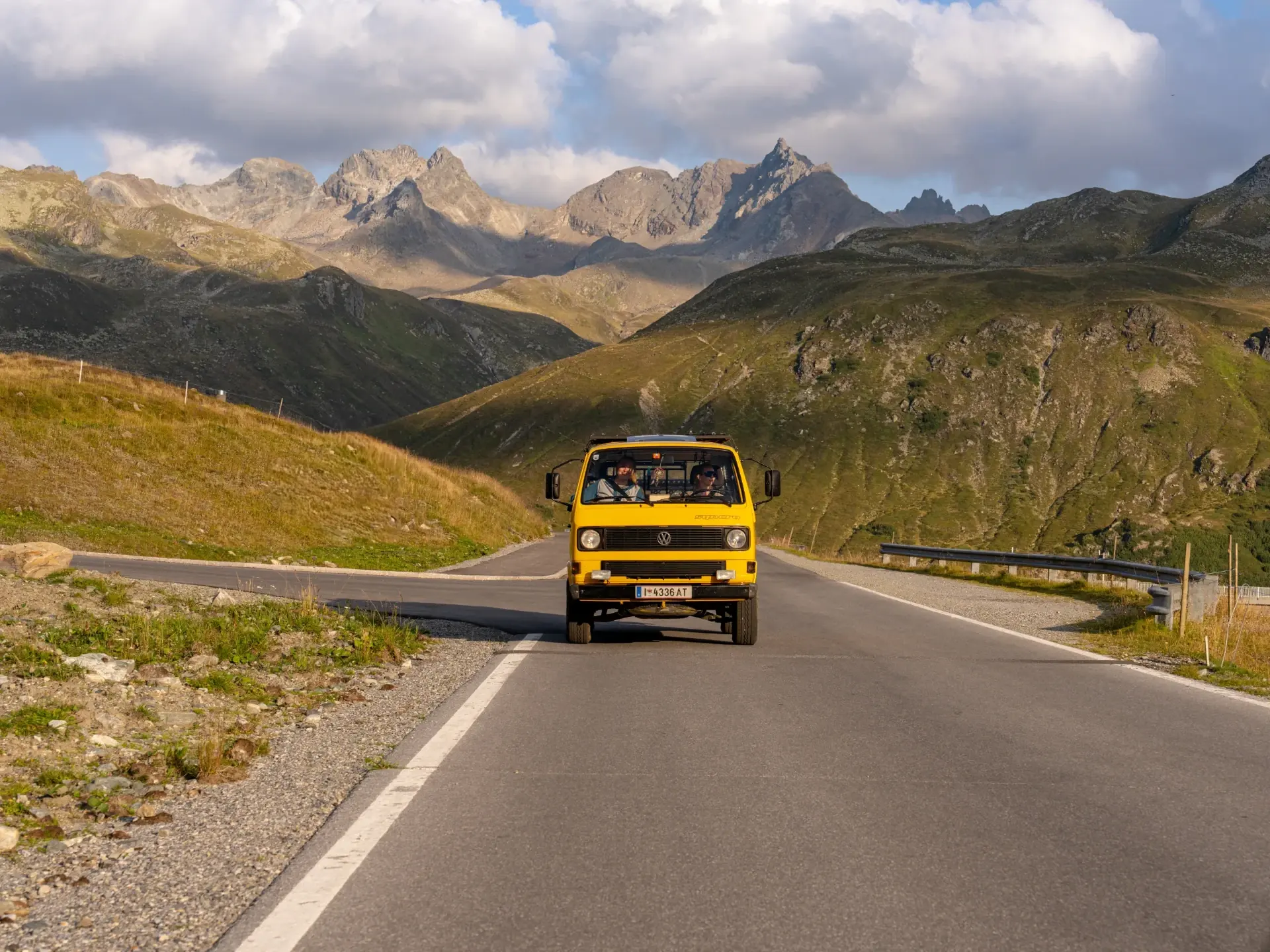
Life is a highway – and Ischgl is the destination.
Travelling in comfort
Travelling by train and plane
By train
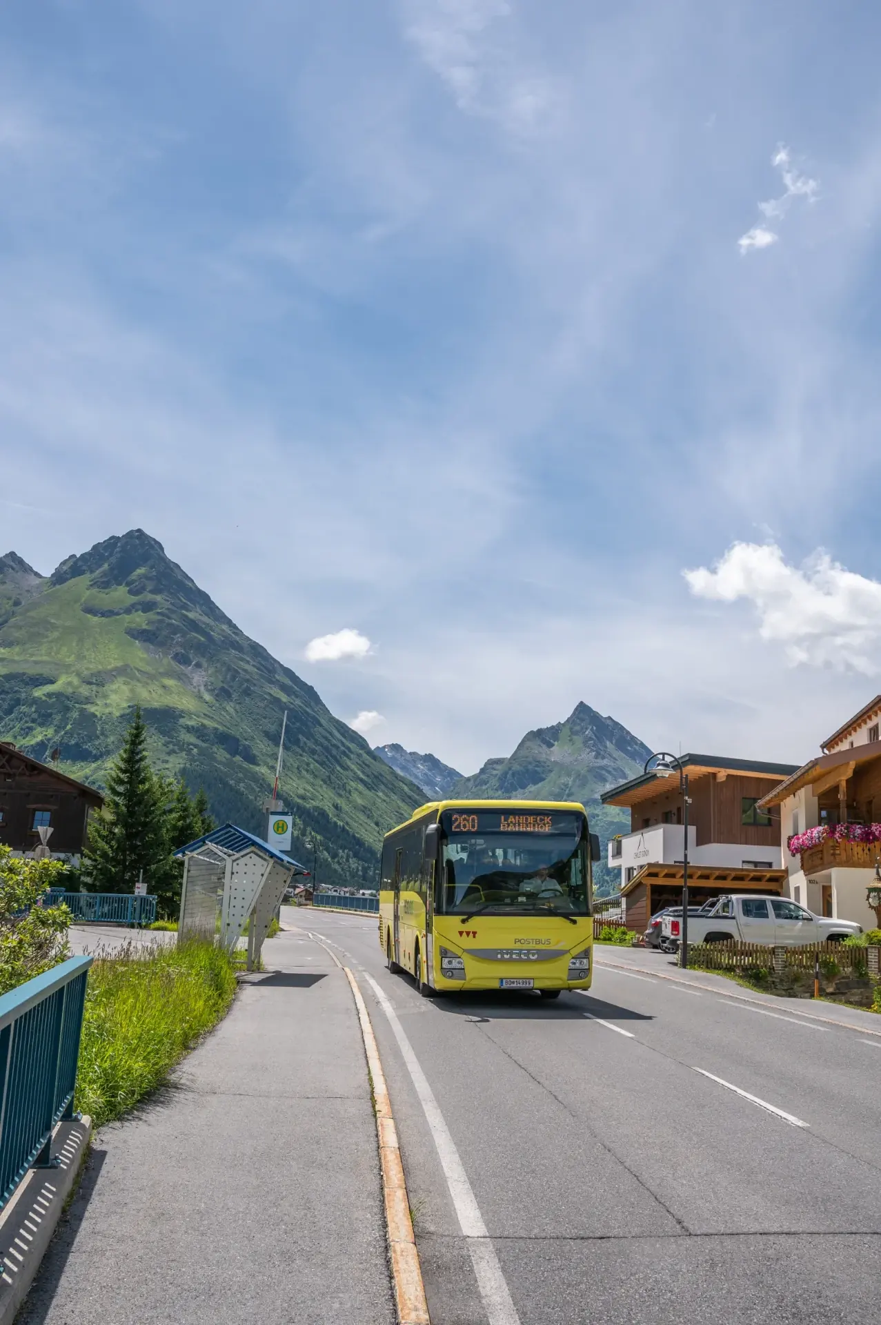
Travel to Landeck – from there, the number 260 bus will take you directly to Ischgl in around 50 minutes. Alternatively, take a taxi for a relaxed journey to the Paznaun valley.
By plane
The nearest airport is Innsbruck (100 km) – perfect for a short journey. Other international airports, such as Munich, Zurich, Salzburg and Memmingen, are all around 250 km away. From there, you can continue your journey to us by hire a car, a shuttle or public transport.
Transfer service
We’d be happy to organise your transfer from the airport or railway station – please do get in touch.
Get on, sit back, arrive.
Right in the heart of the town centre
Map and route planning
Karte: OpenStreetMap